Metocean & Oceanographic Survey

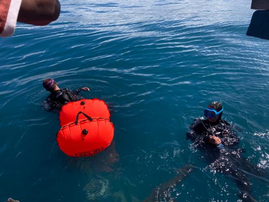
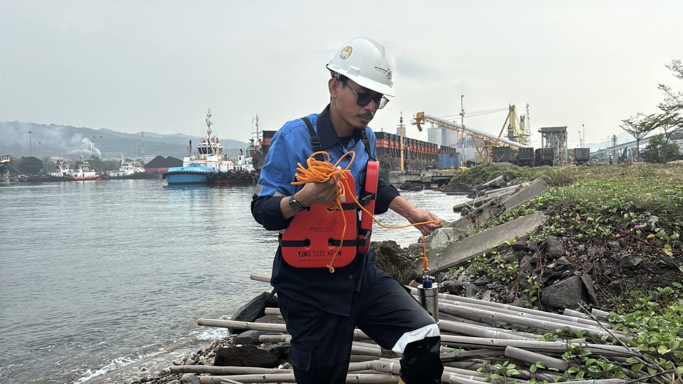
We provide tailored solutions for data acquisition, hydrodynamic modeling, and statistical analysis, capturing vital parameters including waves, currents, tides, and water quality. Our expert oceanographers utilize high-precision instrumentation and advanced numerical modeling to deliver high-integrity datasets. These insights support marine environmental impact assessments (EIA), coastal erosion management, and the baseline characterization needed for renewable energy and oil & gas developments.
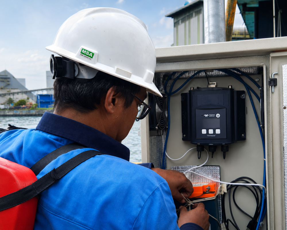
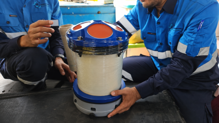
Our Metocean and Oceanographic Survey services provide critical, long-term environmental data necessary for offshore engineering, coastal protection, and marine operations. By measuring and analyzing meteorological and oceanographic parameters, we deliver comprehensive insights into the dynamic forces of the marine environment. This data ensures that marine structures, port facilities, and offshore assets are designed and operated to withstand real-world ocean conditions safely and efficiently.

Kapabilitas Utama

  • Acoustic Doppler Current Profiling (ADCP): Measurement of water column current speed and direction profiles from surface to seabed.
  • Wave Climate & Direction Monitoring: Long-term data collection of wave heights, periods, and directions utilizing specialized directional wave buoys.
  • Tidal & Water Level Observations: High-precision water level monitoring to establish local chart datums and tidal constituents.
  • Marine Water Quality & CTD Profiling: Measurement of physical and chemical parameters including Conductivity, Temperature, Depth (CTD), Turbidity, Dissolved Oxygen, and pH.
  • Hydrodynamic & Dispersion Modeling: Numerical simulation of marine currents, sediment transport, thermal discharge, and effluent dispersion patterns.

Survey Equipment & Technology

  • Acoustic Doppler Current Profilers (ADCP – Teledyne RDI or SonTek)
  • Directional Wave Buoys (e.g., Datawell Directional Waverider)
  • Radar and Pressure-based Tide Gauges (e.g., Valeport)
  • Multi-parameter Water Quality Sondes & CTD Profilers (e.g., Sea-Bird Scientific)

Deliverables

  • Time-Series Current Velocity & Direction Profiles
  • Wave Scatter Diagrams & Extreme Value Analysis (EVA) Reports
  • Tidal Datum and Harmonical Analysis Reports
  • Water Quality Depth Profiles & Spatial Distribution Maps
  • Hydrodynamic Simulation Reports and Plume Dispersion Animations

Need a Metocean Survey for Your Project?

Request a Quote Contact Our UKSS Team