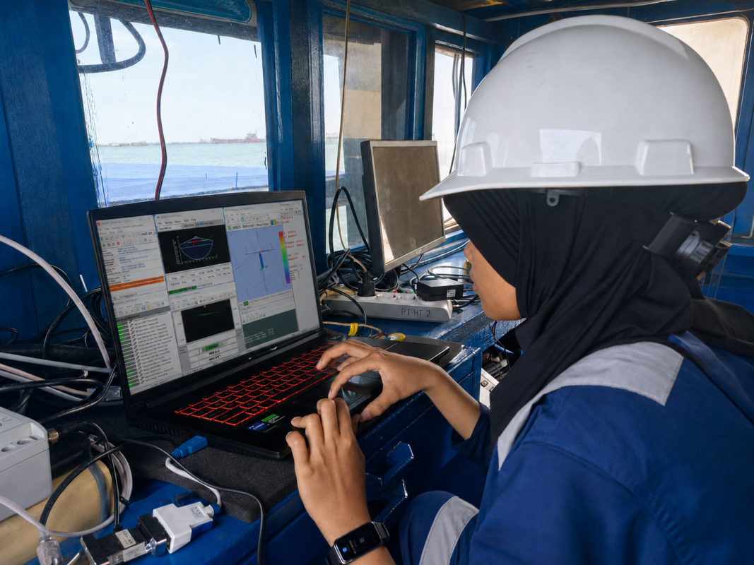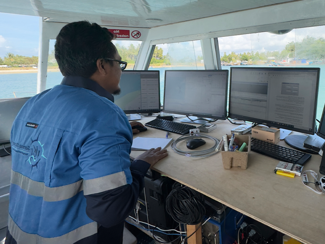
Geophysical Survey Service

We assist developers, engineers, and energy operators throughout the critical phases of site characterization and engineering design. From delineating subsea sediment layers for foundation design to identifying shallow gas zones, buried pipelines, and unexploded ordnance (UXO), our experienced team interprets complex geophysical datasets to help mitigate drilling and construction risks, delivering accurate subsurface models that move projects forward with confidence.
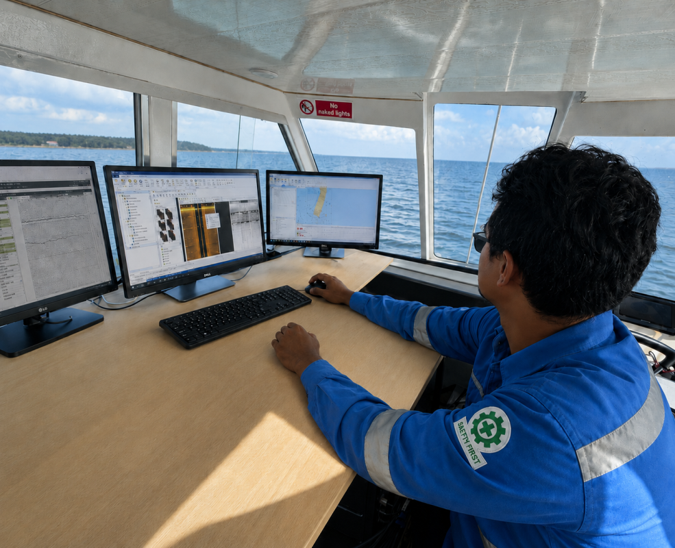
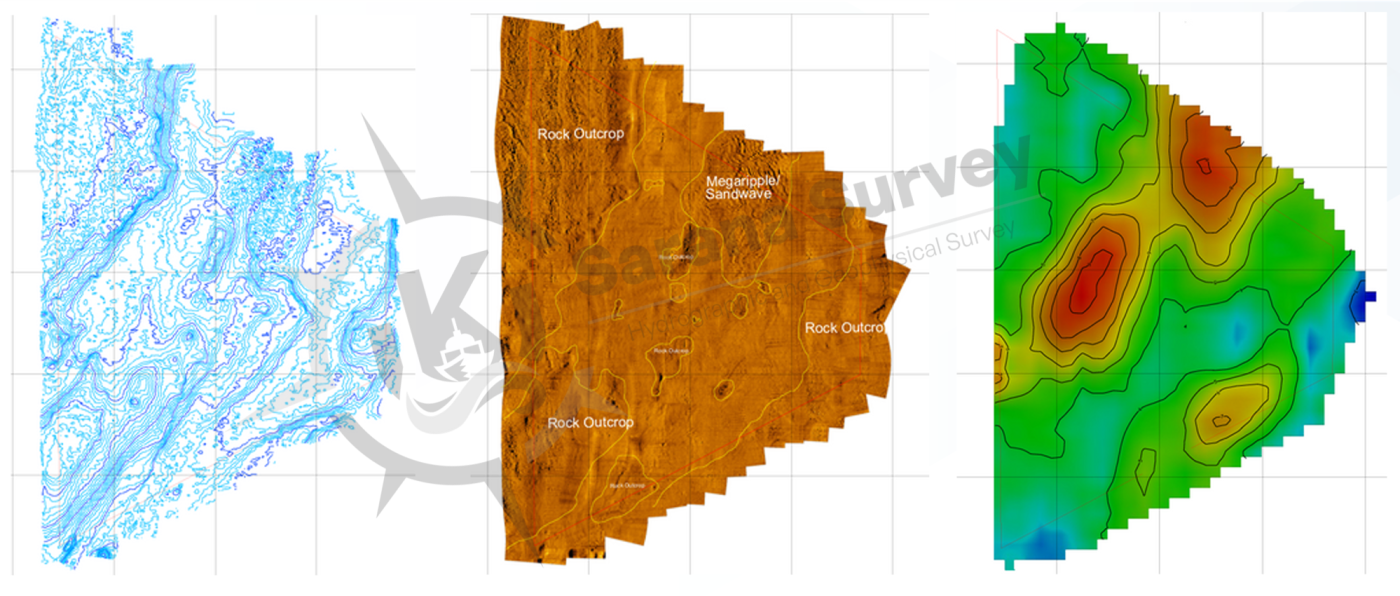
Our Marine Geophysical Survey services provide high-resolution imaging and comprehensive sub-seabed geological mapping to assess subsea geological structures and hazards. By utilizing specialized geophysical sensors, we investigate soil stratigraphy, map shallow geological features, and locate embedded hazards or man-made objects beneath the seabed. This subsurface intelligence is essential for ensuring the stability and engineering safety of marine infrastructure and offshore installations.

Kapabilitas Utama

  • Sub-Bottom Profiling (SBP): High-resolution seismic profiling to map shallow marine stratigraphy and sediment layers for foundation engineering.
  • Side Scan Sonar (SSS) Imaging: Detailed acoustic imaging of seabed surface morphology to identify rock outcrops, debris, and marine habitats.
  • Marine Magnetometer Survey: Detection of magnetic anomalies to locate buried pipelines, subsea cables, anchors, and Unexploded Ordnance (UXO).
  • Seismic Refraction & Reflection: Deeper geological mapping to determine bedrock depth, shear wave velocities, and evaluate subsea geological hazards.
  • Shallow Gas Hazard Assessment: Identification of accumulated gas pockets in shallow sediments to prevent hazardous blowouts during offshore drilling.

Survey Equipment & Technology

  • Sub-Bottom Profilers (Chirp, Pinger, Boomer, or Sparker systems)
  • Dual-Frequency Side Scan Sonar (SSS) Towfish
  • Marine Magnetometers / Gradiometers
  • Digital Marine Seismic Hydrophone Streamers & Energy Sources
  • Integrated Survey Navigation & Seismic Data Acquisition System.

Deliverables

  • Sub-Seabed Stratigraphy & Geological Cross-Sections
  • Seabed Features & Hazard Identification Charts
  • Buried Pipeline, Cable, and UXO Target Anomaly Maps
  • Isopach Maps (Sediment Thickness & Bedrock Contour Charts)
  • Comprehensive Geophysical Interpretation & Geological Assessment Report.

Need a Geophysical Survey for Your Project?

Request a Quote Contact Our UKSS Team