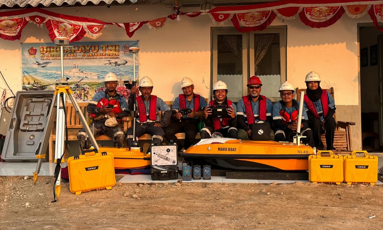
Tentang PT Unggul Karya Sarana Survey
Memberikan solusi survei hidrografi, geofisika, dan metocean yang akurat melalui tenaga profesional berpengalaman, teknologi canggih, serta komitmen kuat terhadap keselamatan dan kualitas.
Memberikan solusi survei hidrografi, geofisika, dan metocean yang akurat melalui tenaga profesional berpengalaman, teknologi canggih, serta komitmen kuat terhadap keselamatan dan kualitas.
OUR PURPOSE
A clear direction and a strong commitment guide every UKSS operation.
Creating a workplace culture that prioritizes employee growth, safety, and well-being.
Providing high-quality hydrographic and geophysical survey solutions with precision, innovation, and integrity.
Leveraging cutting-edge technology while ensuring environmentally responsible marine activities.
UKSS brings together experienced survey personnel, specialized expertise, and professional technology to support reliable data acquisition and processing across diverse project environments.
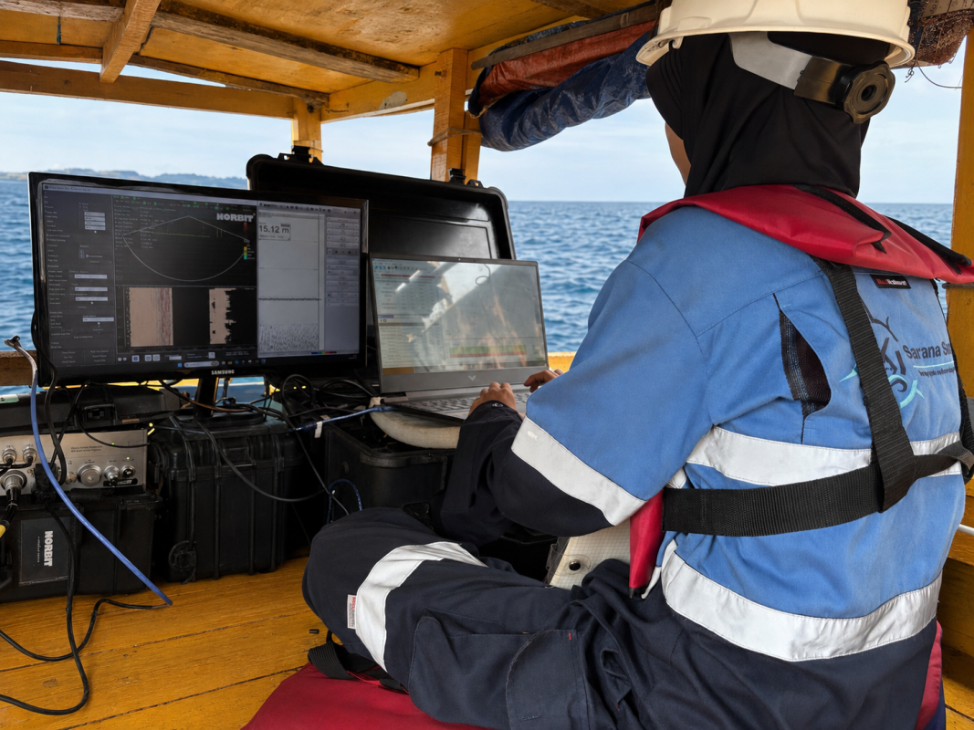
Experienced survey personnel supported by professional hydrographic and geophysical systems for reliable data acquisition and processing.
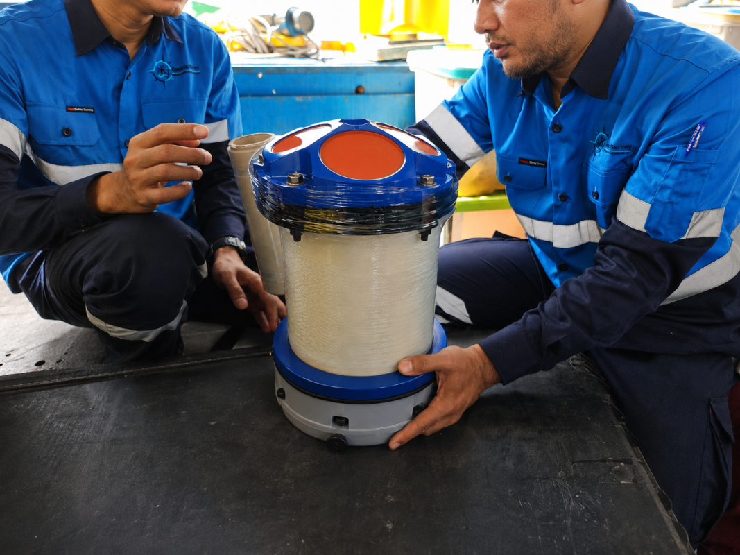
Specialized personnel supporting metocean data acquisition, monitoring, and analysis for operational and engineering requirements.
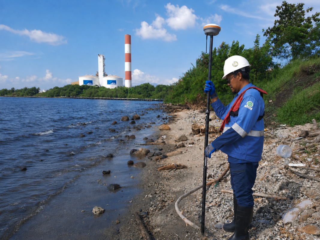
Survey personnel and positioning technology for reliable mapping and spatial data acquisition across land and coastal environments.
OUR COMMITMENT
UKSS integrates health, safety, environmental responsibility, and quality into every stage of our survey operations to protect our people, support reliable results, and deliver responsible project execution.
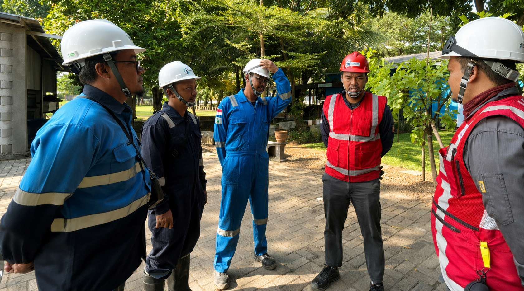
We prioritize safe working practices, proper PPE, operational awareness, and the well-being of every person involved in our activities.
We apply consistent procedures, competent personnel, and reliable equipment to maintain accuracy and dependable survey deliverables.
We conduct our operations responsibly by minimizing environmental impact and supporting sustainable practices across every project.